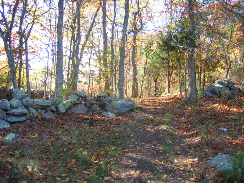
Search
Close this search box.

Properties

Candlewood Ridge

Parking: Grassy parking area
Facilities: none

Property Highlights

Candlewood Ridge is part of a critical large block of diverse wildlife habitats highlighted on the State of CT Natural Diversity Database maps: early successional forest, oak-hemlock-hickory upland forest, native shrubby and grassy habitat, forested peatlands, kettle type bogs, tussock sedge, poor fens, multiple seeps, several Tier I vernal pools, and streams.

A north-south ridge is characterized by a rugged ledge and glacial erratics extending to Avery Farm Nature Preserve.

The site provides critical habitat, a nursery site for fish, water storage, filtration, groundwater recharge, and food protection functions

There is a forested bottomland riparian corridor along a sandy creek, forested peatland shrub thicket, tussock sedge wetlands, red maple wetlands, alder wetlands and vernal pools, bogs, poor fens and a large marsh.

To the east streams flow into forested peatlands, (one of the 25 CT critical habitats).

The poor fen of Candlewood Ridge also has shrub thickets fed by a separate perennial brook which flows north into the eastern side of the poor fen onto its junction with Haley Brook which then flows eastward to the Mystic River and Long Island Sound.

Recreational Opportunities

State of Connecticut rules of use apply.

walking

walking & hiking

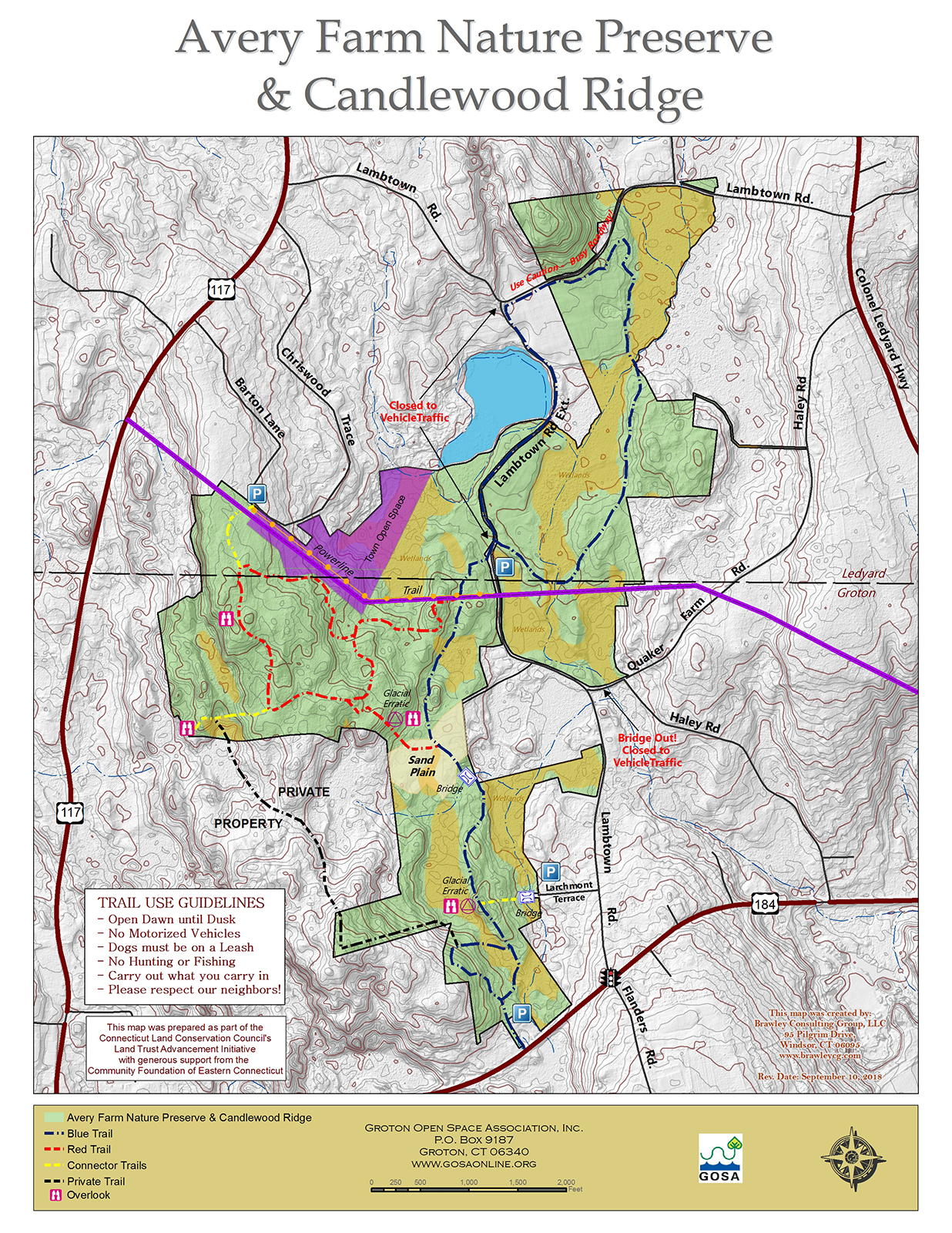
trails with varied levels of difficulty

4055993

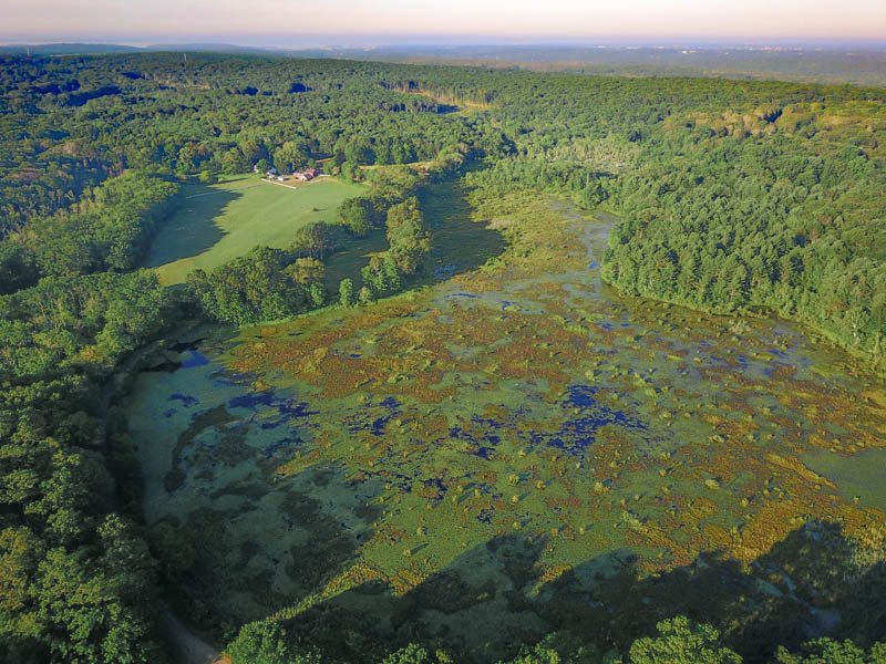
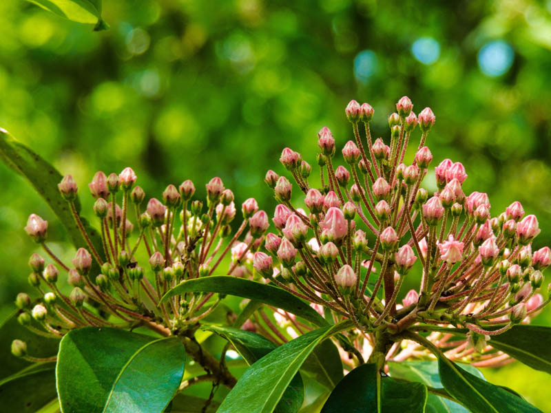
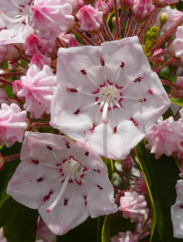
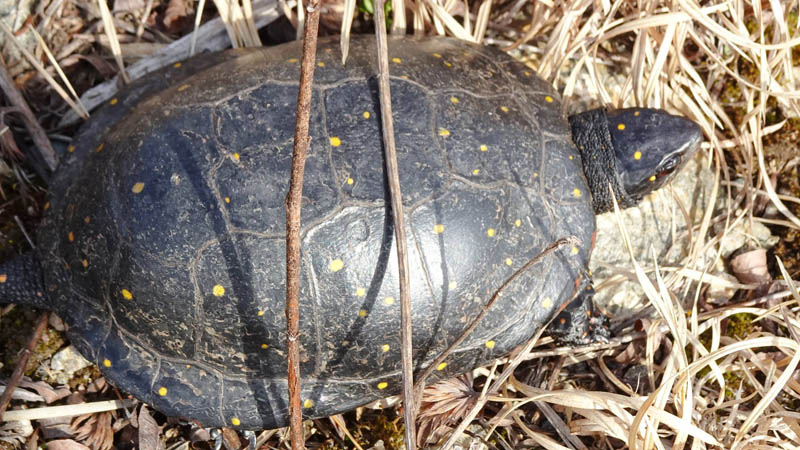
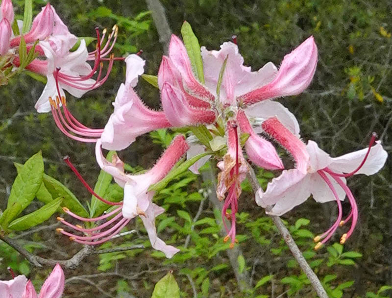
bird and wildlife viewing

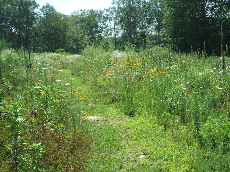
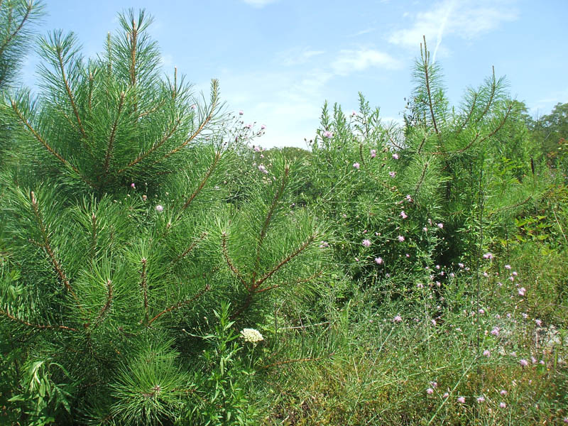
a 6-acre meadow, 30 acres of early successional forest and a large marsh, bogs, poor fens, sedge tussock wetlands, forested peatlands, shrub thicket and vernal pools.

2061019

art opportunities

photography, painting, drawing

5172502

winter activites

snowshoeing, cross country skiing

Background

This 91-acre property stretches from Route 184 north to the 305 acres Avery Farm Nature Preserve along with a ridgeline. It is also to contiguous to Groton and Ledyard Town-owned open spaces, including a Town of Groton conservation easement on a 7-acre former cranberry bog. Combined over 430 acres of habitat area are available for wildlife and watershed protection.

Acquired in March 2013, this project was funded by member donations, community clubs, local organizations, businesses, local and national foundations, and a grant from the CT DEEP Open Space and Watershed Land Acquisition Program.

This high-quality habitat rich tract of land was partially impacted by non-permitted development. Wetlands had been filled, the base for a road was constructed and fill was brought in for house lots. GOSA purchased the property in order to protect it from future development.

The State of CT holds a conservation easement on the 91 acres.

Trail Map

Click on the map to enlarge or download.

Directions & Parking

There is parking at end of culdasac on Larchmont Terrace. For 1770 Gold Star Hwy, drive to back for parking. Contact us at [email protected] for tours or directions.