Search
Close this search box.

Properties

Avery Farm Nature Preserve

Address: Located at the end of Groton’s Lambtown Road
what3words: ///implication.observers.pointed
Coordinates: 41°23’58.1″N 72°00’40.9″W

Parking: dirt lot
Facilities: none

Property Highlights

Avery Farm is part of a critical large block of diverse wildlife habitats highlighted on the State of CT Natural Diversity Database maps: grasslands, hedgerows, early successional forest, oak-hemlock-hickory upland forest, Atlantic white cedar swamp, a habitat managed power utility corridor, forested peatlands, kettle type bogs, poor fens, multiple seeps, several Tier I vernal pools, Ed Lamb Brook, Haley Brook, and the southern portion of a 38 acre marsh.

A north-south ridge extends to Candlewood Ridge.

To the west, Avery Farm is characteristically rugged with ledges, steep cliffs, rocky outcrops, large boulder fields, and glacial erratics. The watershed here feeds west towards the Ledyard/Groton reservoir system, through seeps and overland flows.

To the east, the Avery Farm watershed flows into Haley Brook, Mystic River and onto Long Island Sound.

Wooded swamps and seeps provide stormwater storage, filtration, groundwater recharge, and flood control for vulnerable areas downstream.

Colonial stone slab bridge crosses the Haley Brook.

Recreational Opportunities

walking-green

walking & hiking

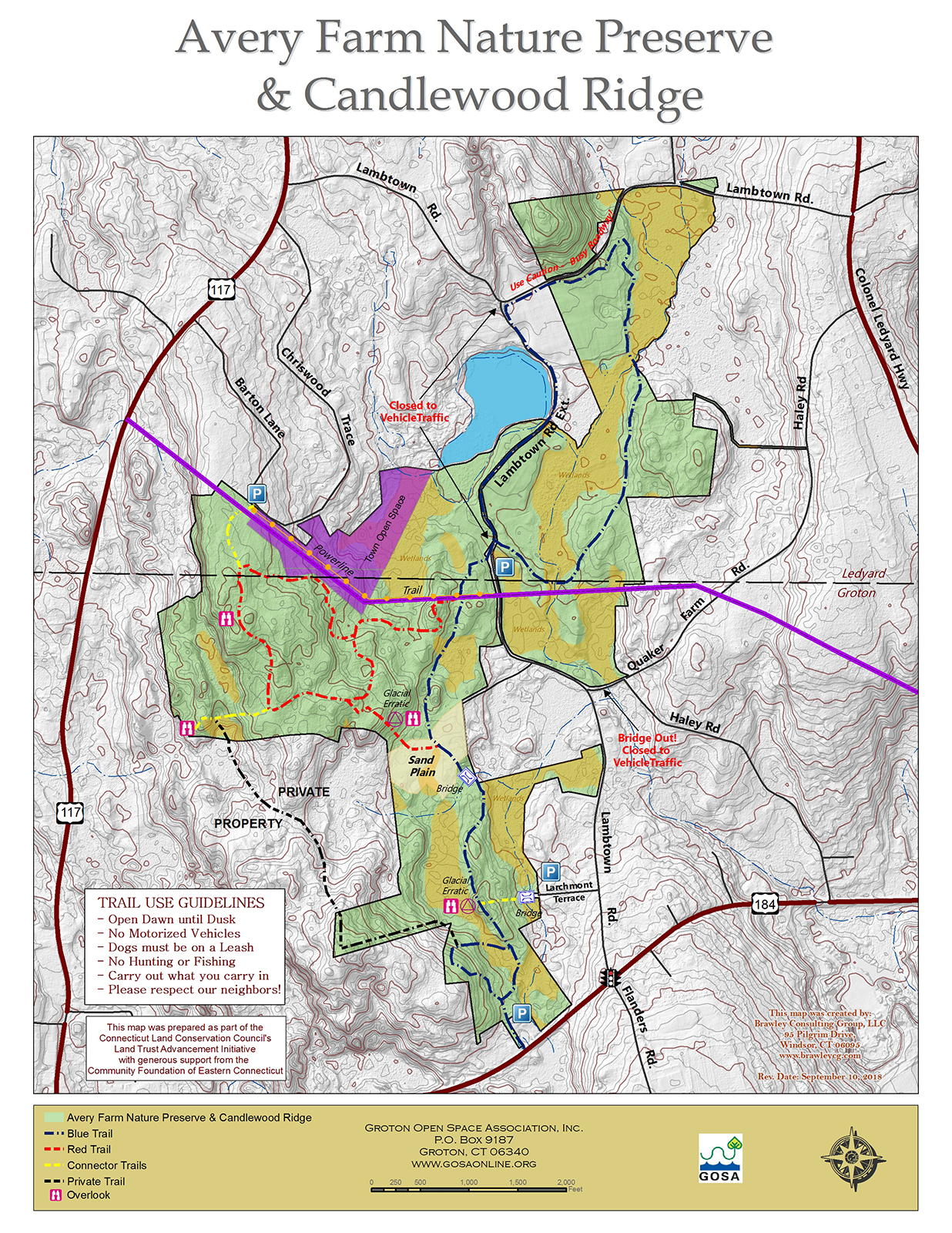
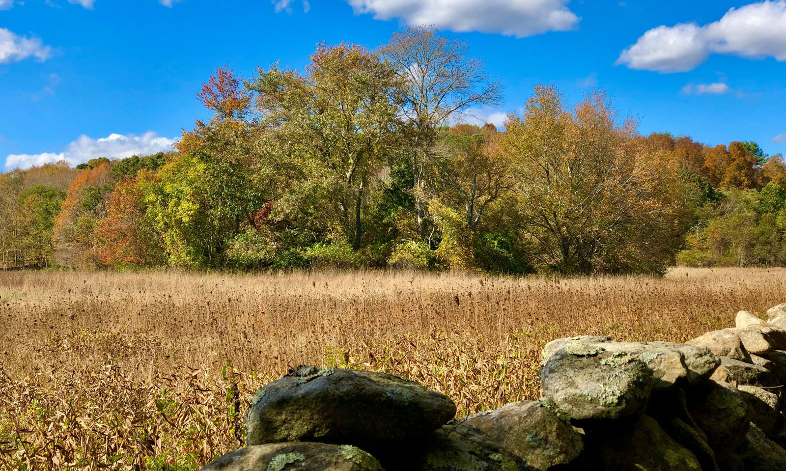
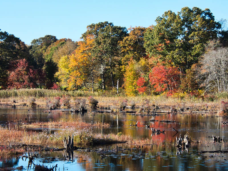
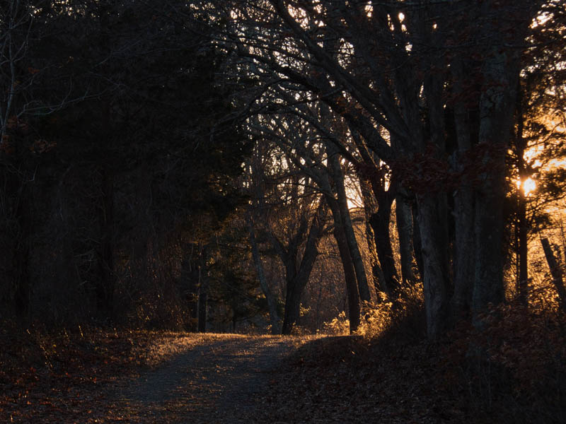
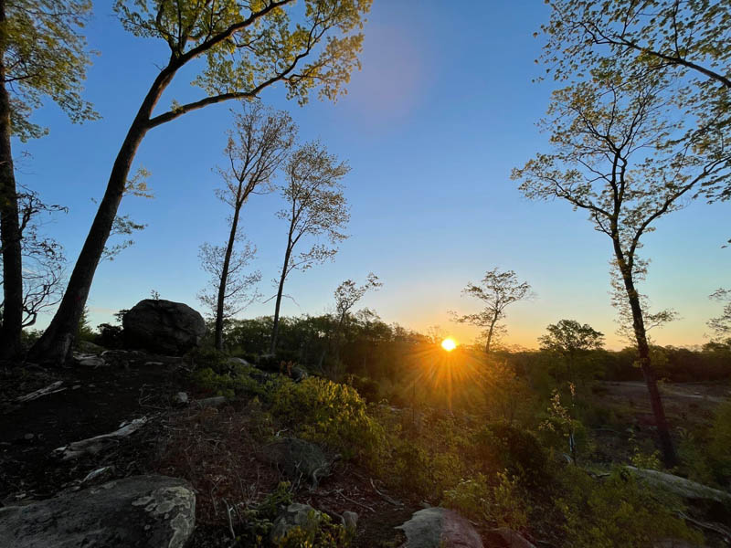
level dirt road, closed to motor vehicles, features views of the marsh and grassy fields and trails with varied levels of difficulty

binoculars-green

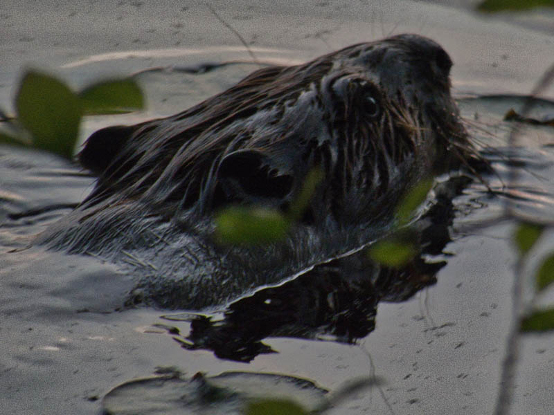
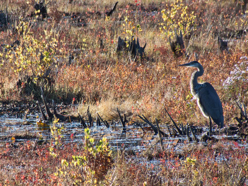
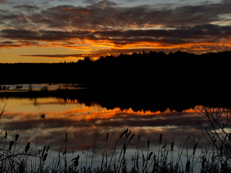
bird and wildlife viewing

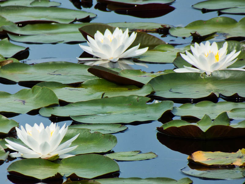
over 169 bird species identified on the site including migratory waterfowl. Diverse habitat: hedgerows, fields, varied aged forests, marsh, ponds and rocky ridges. Also, caves, beaver dams, streams, vernal pools and a habitat- managed powerline corridor

art-green

art opportunities

photography, painting, drawing

skiing-green

winter activites

snow shoeing, cross-country skiing

Background

This historic 305-acre farm spans the border of Ledyard and Groton in a scenic rural setting. It is contiguous to the 91 acre Candlewood Ridge property, Groton and Ledyard town-owned open spaces, and to the Town of Groton conservation easement on a 7-acre former cranberry bog. Combined, over 430 acres of habitat area are available for wildlife and watershed protection.

Acquired in December of 2015, this project was funded by member donations, community clubs, local organizations, businesses, local and national foundations, the Town of Ledyard, and grants from the CT DEEP Open Space and Watershed Land Acquisition Program, and the North American Wetlands Conservation Act Program.

In 2013 the Avery/Weber family approached GOSA to find a way to protect their land in perpetuity. Without this forward-thinking, this large tract of land could have become vulnerable to fragmentation and significant habitat loss. The family donated the 152 acres located in Groton. The 18th-century farmhouse and surrounding 1.5 acres in Ledyard are held as private property.

The State of CT holds a conservation easement on the 305-acre property. GOSA manages the fields, which are closed to the public, through renewable lease agreements for farming.

Trail Map

Click on the map to enlarge or download.

Directions & Parking

Contact us at [email protected] for tours or directions.